Alex Werner · 28 September 2026
The Interplay of Heathford's Forgotten Quarry Sites and Regional Stone Masonry Techniques
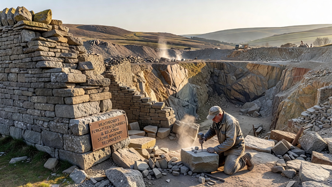
The quarries around Heathford have supplied building materials since the medieval period, while regional masons developed techniques that adapted to the local stone's properties, and this connection appears in surviving structures across the area. Researchers from the Heathford Historical Society have mapped several sites that fell into disuse after the early twentieth century, yet the stone extracted from those locations still forms the core of many walls, bridges, and farm buildings still standing today.
Geological Foundations and Quarry Locations
Heathford sits on a band of limestone and sandstone that formed during the Jurassic era, and these strata provided workable material for generations of stoneworkers. Surveys conducted by the regional geological office show that the main extraction points lie along the eastern ridge and the river valley floor, where overburden remained thin enough for hand tools and early mechanical methods to reach viable beds. Data from core samples indicate consistent block sizes suitable for ashlar and rubble construction, which explains why so many local buildings share similar dimensions and weathering patterns.
One site near the old mill road closed in 1923 after operators exhausted the easily accessible seams, while another farther north operated intermittently until 1947 when transport costs rose sharply. Observers note that both locations now sit within secondary woodland, their faces partially collapsed and covered by ivy, yet the remaining stone piles still show tool marks from the final decades of use.
Stone Masonry Methods Shaped by Local Material
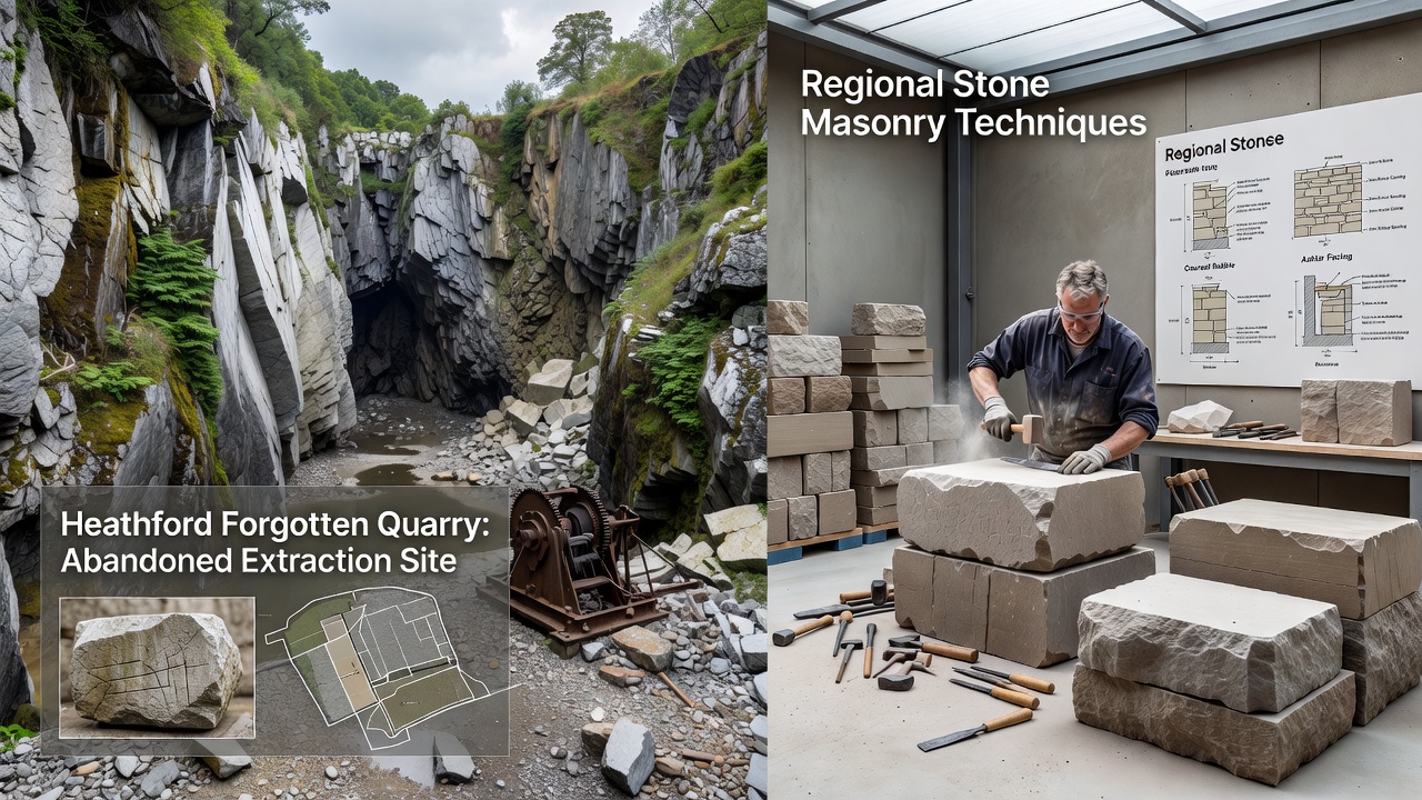
Masons working with Heathford stone developed a range of approaches that matched the material's grain and hardness. For load-bearing walls they favored squared rubble laid in lime mortar mixed with local sand, a combination that allowed slight movement without cracking. Where finer finishes were required, they employed chisels to create ashlar blocks with tight joints that needed minimal pointing. Those who've examined the surviving examples point out that the masons often left the quarry's natural bed lines visible on the outer faces, creating a textured appearance that blends with the surrounding landscape.
Training passed through apprenticeships that emphasized reading the stone's cleavage planes before cutting, and this knowledge helped reduce waste during extraction and dressing. Records from the nineteenth century list several families who supplied masons to projects across the county, and their ledgers show repeated use of the same quarry batches for specific estates. The techniques remained largely consistent until the introduction of Portland cement in the early 1900s, after which some builders shifted toward faster-setting mixes while others continued with traditional lime for repair work.
Rediscovery Efforts and Documentation Projects
Local heritage groups began systematic recording of the abandoned quarries in the late 1990s, using old maps and aerial photographs to locate entrances and spoil heaps. Their work revealed that several sites had been partially infilled with later waste, which preserved tool marks and even wooden wedges from the last working phase. In September 2026 a joint team from the county archaeology unit and a university geology department plans to conduct non-invasive scans at three of the larger locations, aiming to measure remaining stone volumes and assess stability without further disturbance.
According to Natural Resources Canada reports on historic stone resources, similar limestone formations elsewhere have yielded comparable data on extraction rates and tool evolution, and researchers in Heathford expect parallel findings. The project will also collect samples for thin-section analysis to confirm the stone's mineral composition and compare it with blocks still visible in nearby structures.
Architectural Legacy Across the Region
Buildings constructed from Heathford stone display consistent weathering profiles that help date phases of construction and repair. Farmhouses from the eighteenth century often show the rougher rubble work of earlier decades, while nineteenth-century additions feature more regular coursing and finer joints. Bridges along the main river retain original parapets whose blocks still carry the quarry's distinctive color banding, and these details allow historians to trace material movement without written records.
Restoration contractors working on listed buildings now seek matching stone from the remaining quarry faces or from salvage yards that stock reclaimed material. The process requires matching both color and texture, which has renewed interest in documenting the original extraction points. Figures from the regional planning office show that applications for stone-matching grants have risen steadily since 2015, reflecting broader awareness of the quarries' role in the area's built environment.
Conclusion
The relationship between Heathford's disused quarries and the masonry traditions they supported continues to shape how the region understands adn maintains its historic fabric. Ongoing surveys scheduled for 2026 will add further detail to existing maps and records, while Australian Government heritage assessments on comparable stone landscapes provide methodological models for non-invasive study. Together these efforts help preserve both the physical remains and the technical knowledge that once connected quarry face to finished wall.